AUTGEO is a consulting company that brings decades of experience in various disciplines
At AUTGEO, we don't just offer services; we provide solutions that transform. Our inclusive approach fosters a supportive community, where clients become partners and projects become success stories. We take pride in our role as a trusted resource, offering insights and guidance that empower our clients to navigate the complex geospatial landscape.
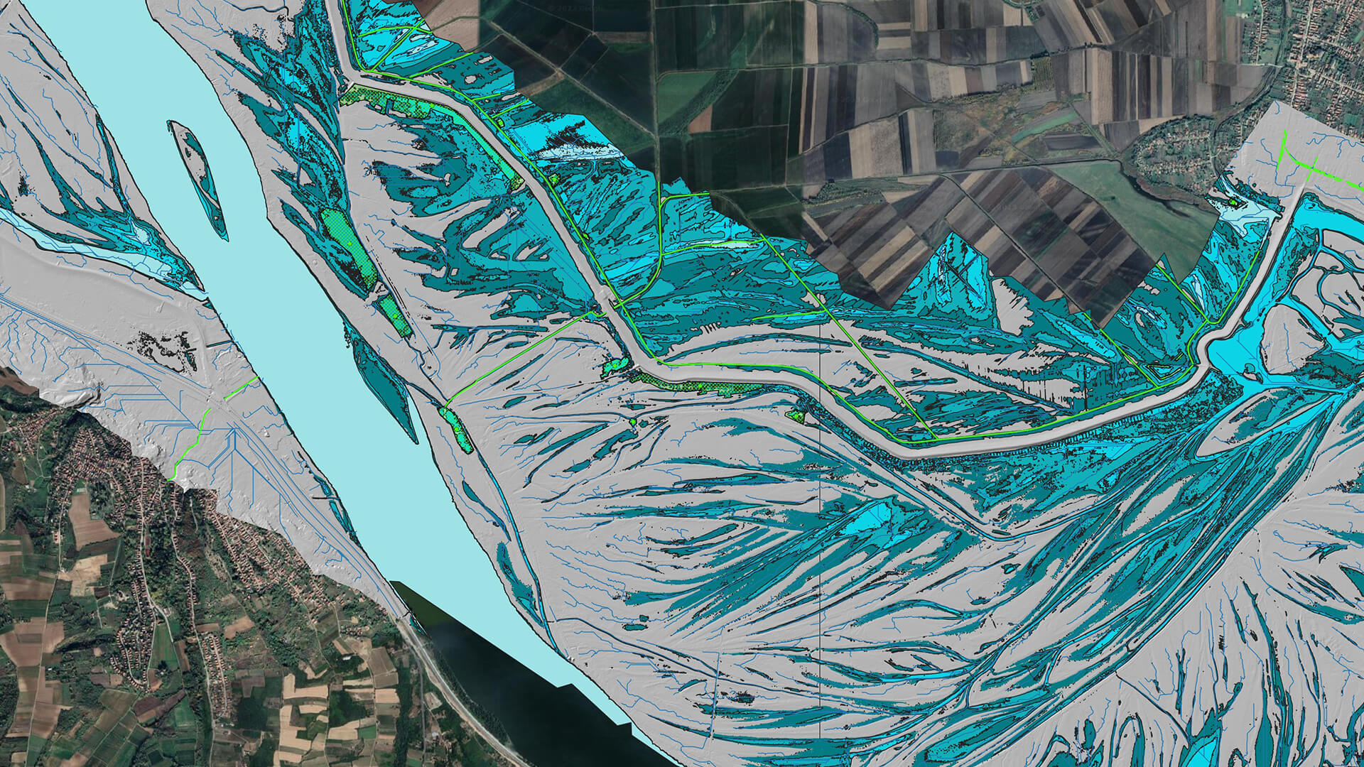
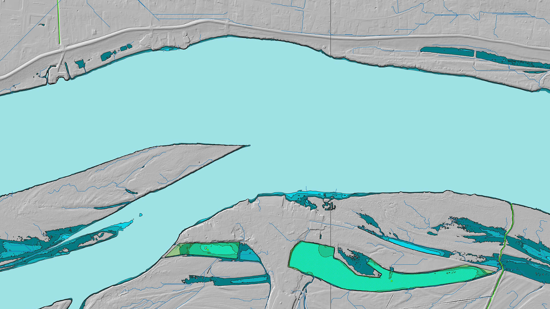
GIS
Powerful tool that allows to digitize, analyze, visualize and interpret spatial data. GIS versatility is its virtue and it can be tailored to suit any industry and its needs.
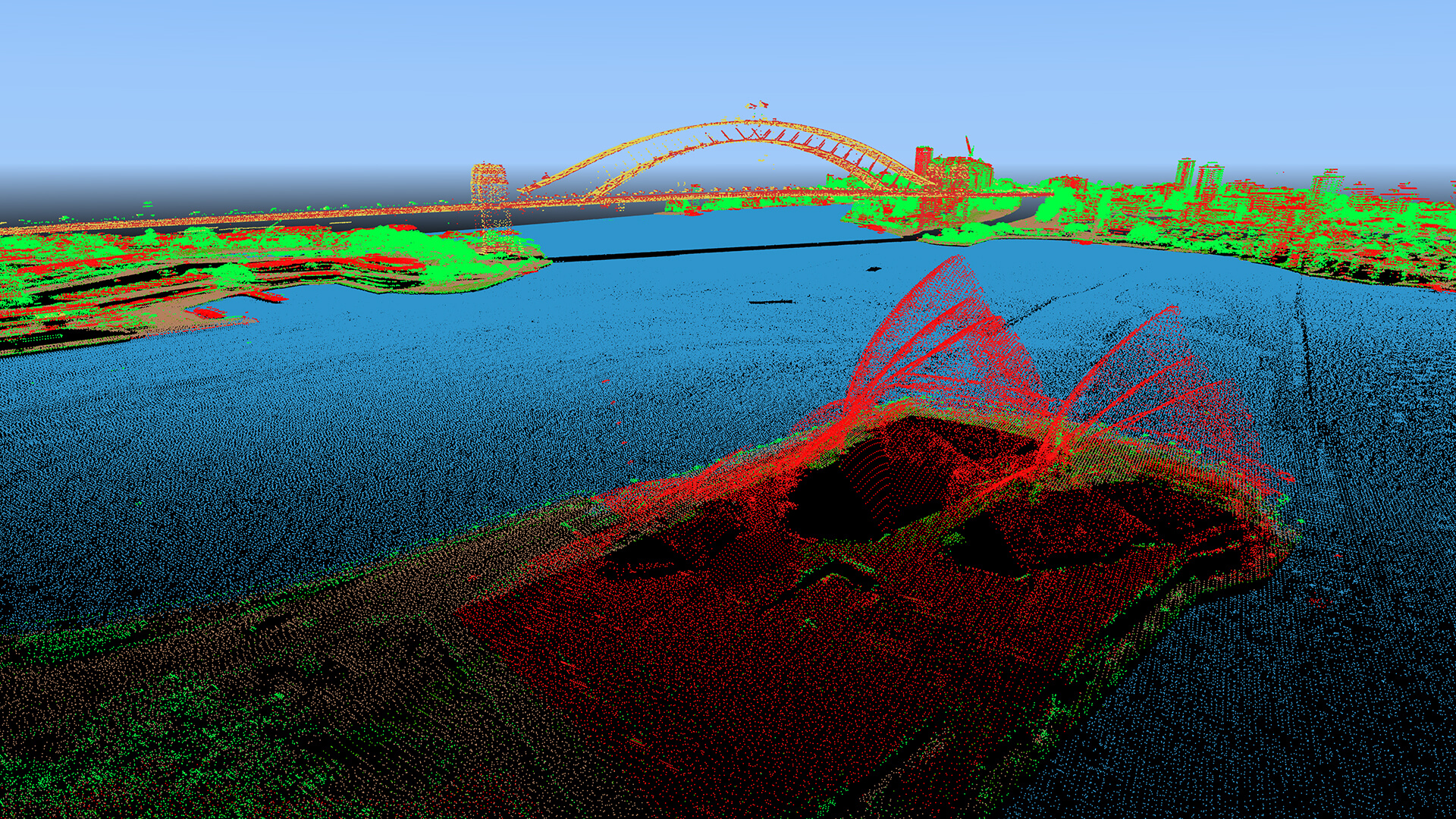
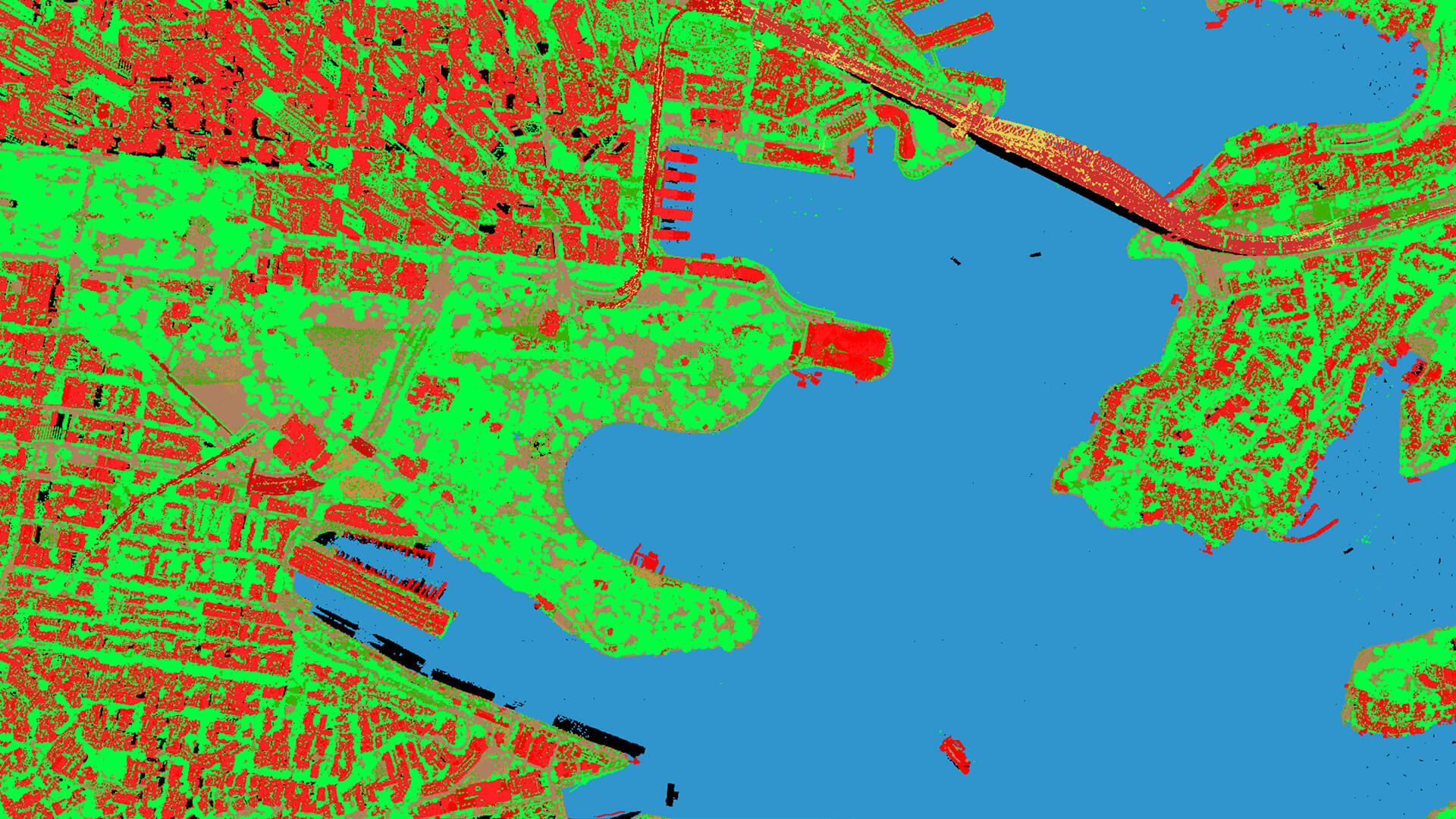
LiDAR Data Analysis
At our consulting company, we have the expertise and tools to process, analyze, and visualize LiDAR data to provide valuable insights and solutions for a wide range of industries. We work closely with our clients to understand their needs and tailor our LiDAR services to meet their specific goals and objectives. Whether it's for environmental conservation, infrastructure development, or any other application, LiDAR data can be a powerful tool to drive informed decision-making and improve outcomes.
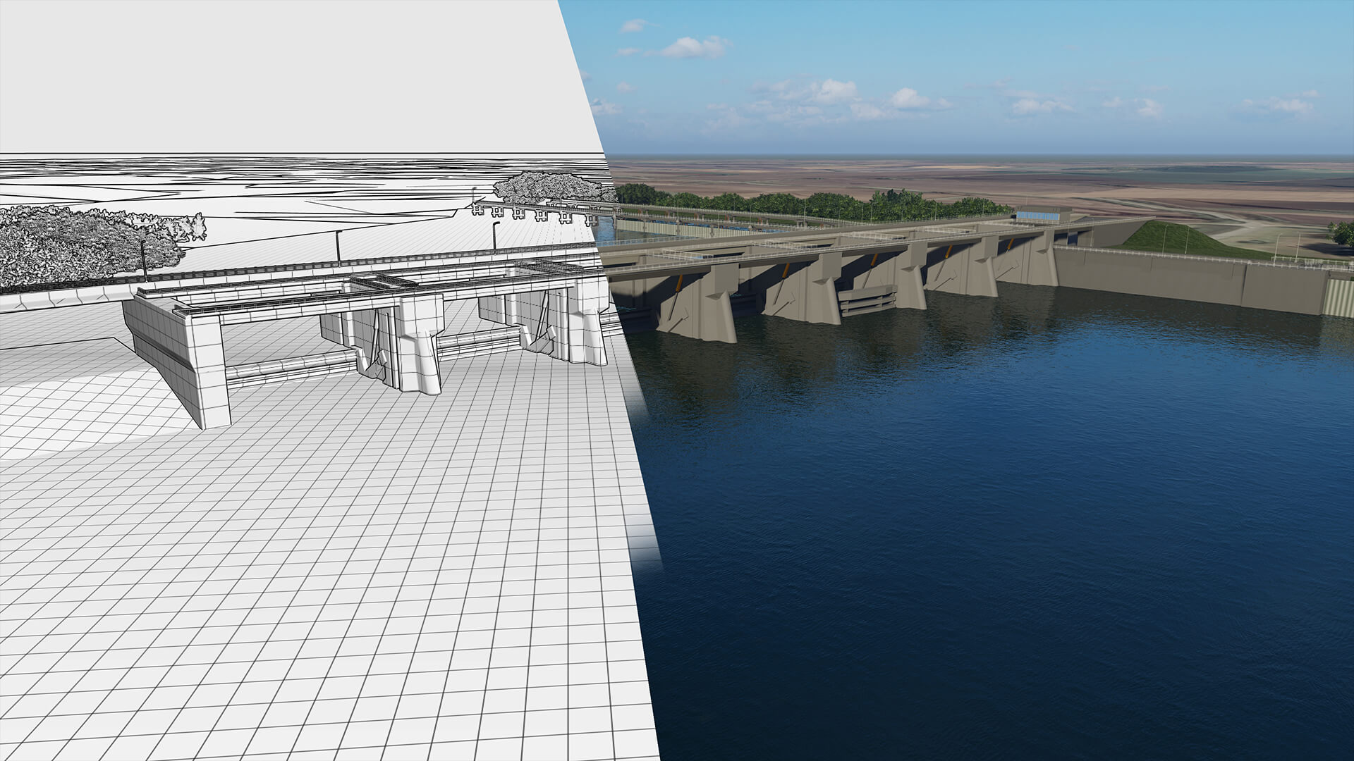
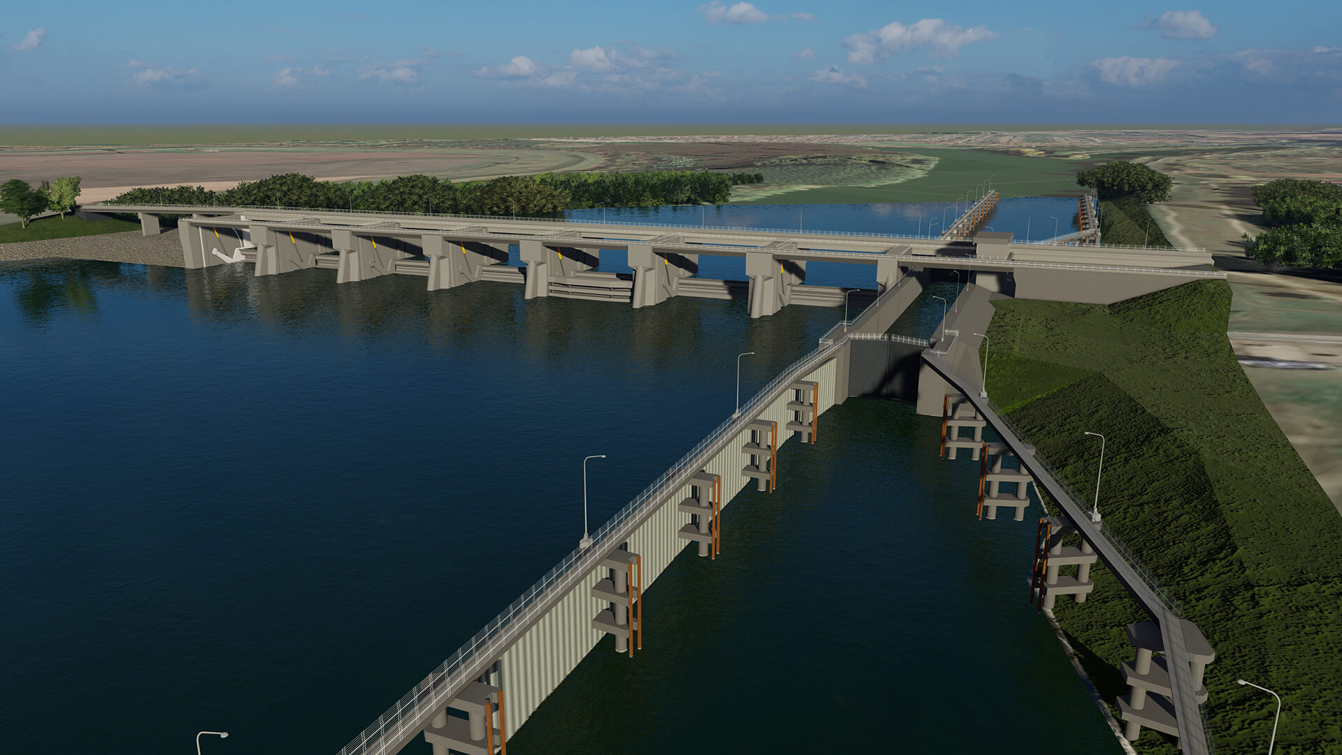
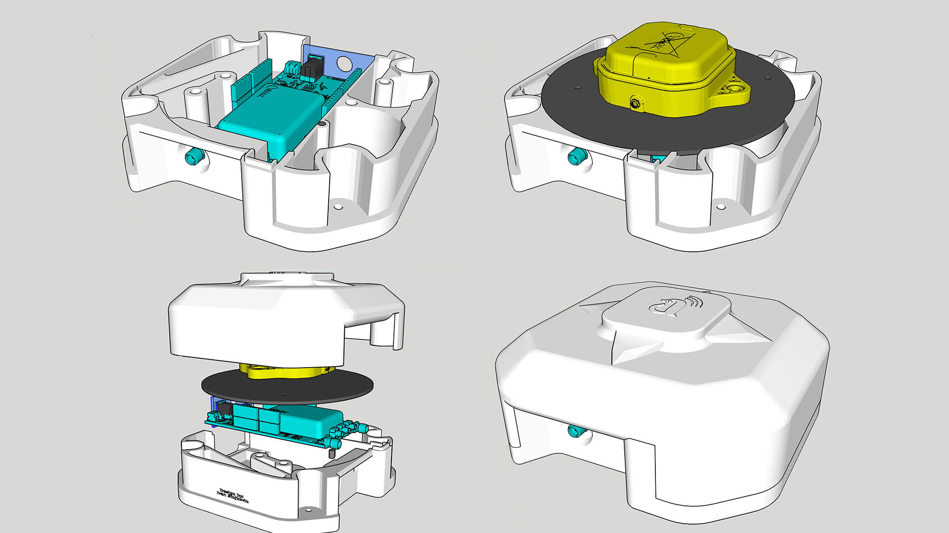
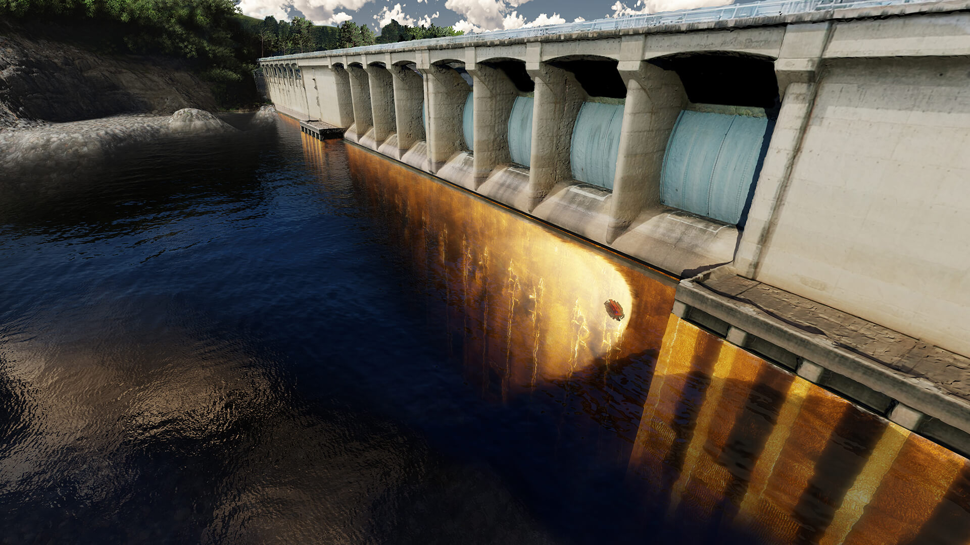
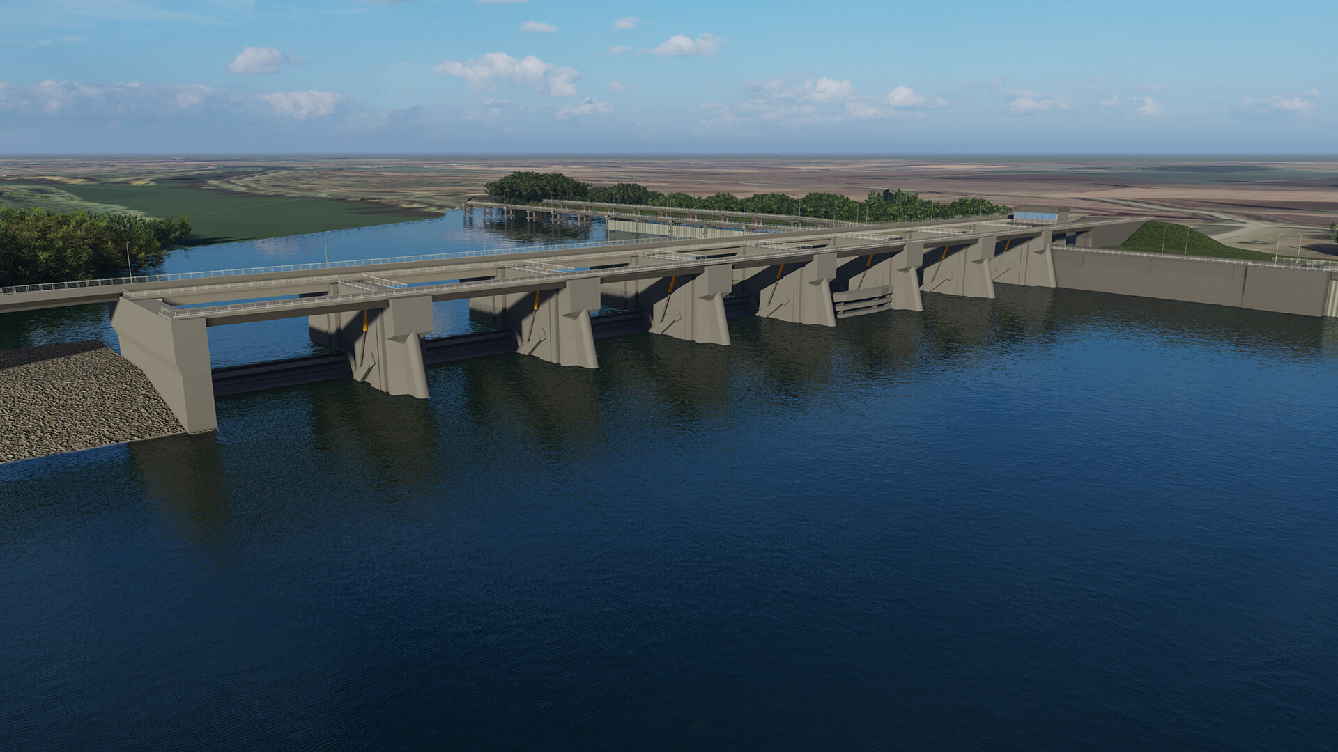
3D Modeling
3D modeling plays a crucial role in civil engineering, providing valuable insights and solutions throughout the project lifecycle. offer 3D modeling services to enhance project planning, design, analysis, and communication with stakeholders.
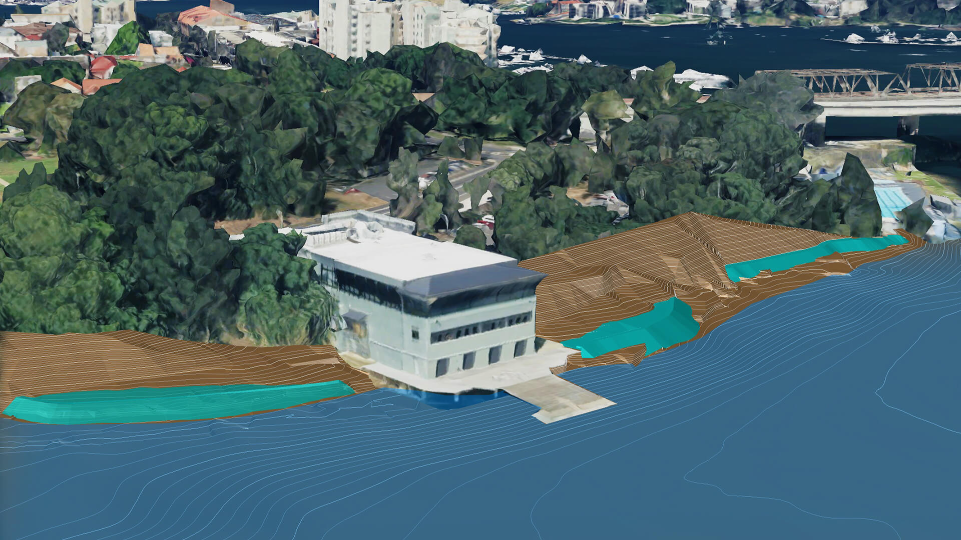
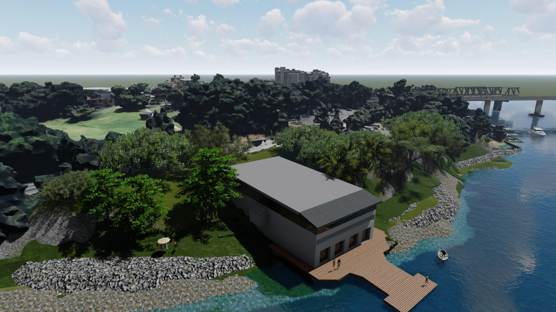
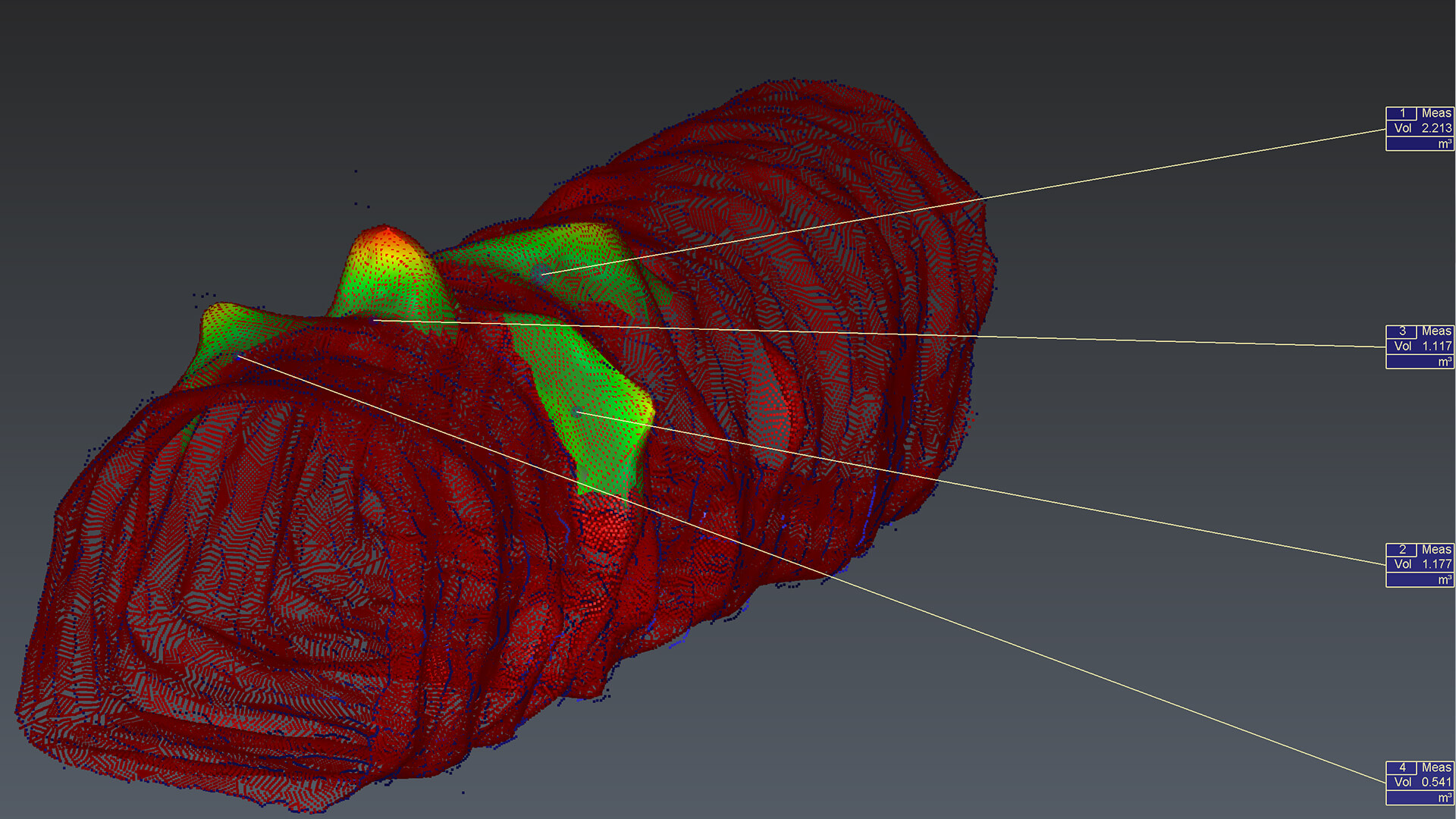
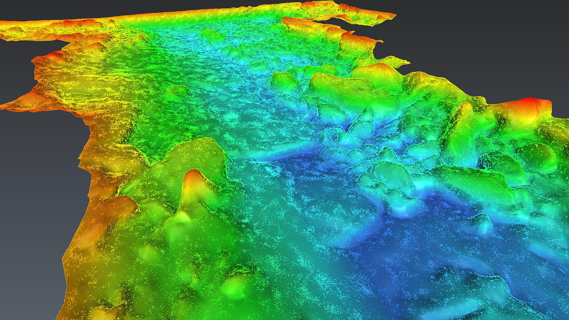
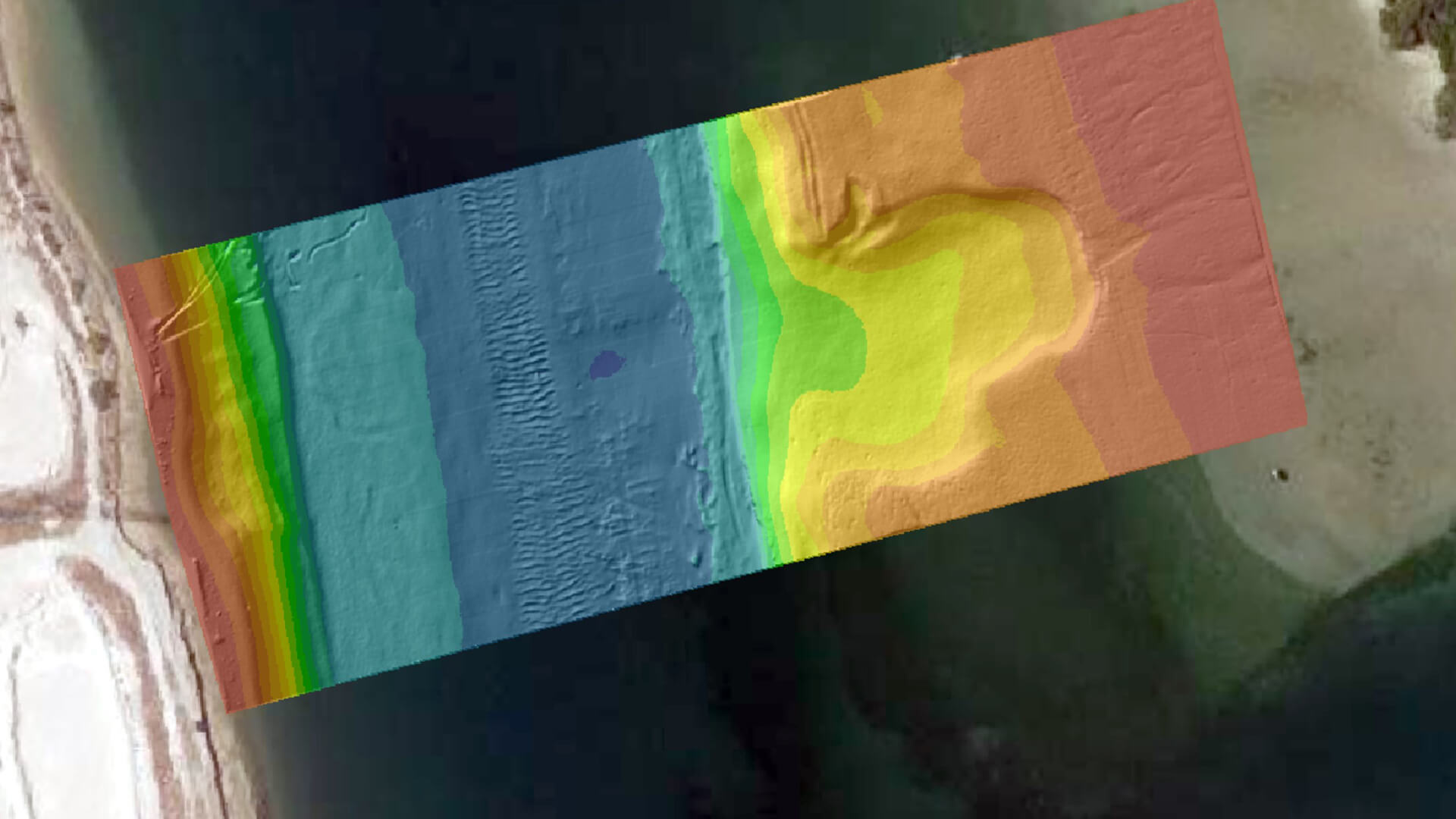
Bathymetry Data Analysis and Processing
Bathymetry survey bring new challenges to the process of obtaining and processing the data. Water is completely different environment and the subsequent data processing is crucial for creating accurate and useful bathymetric maps.
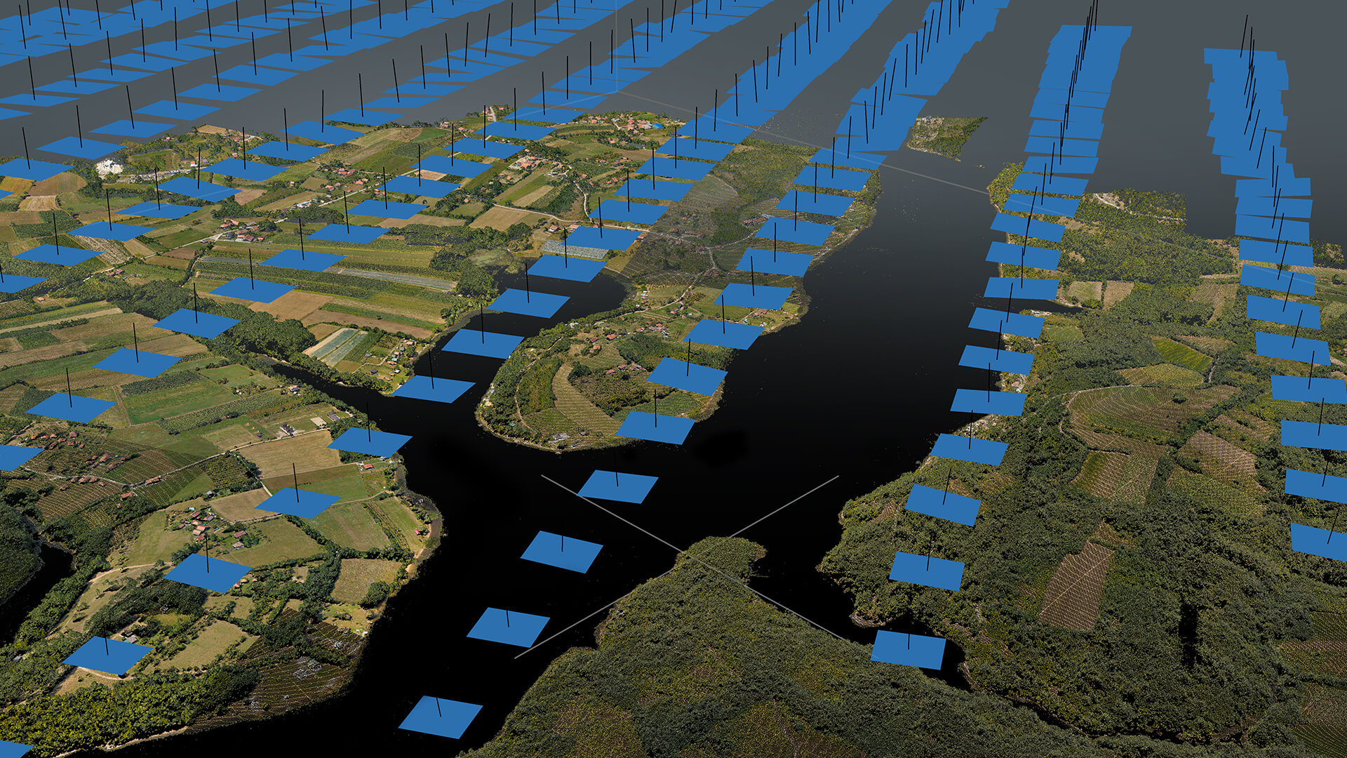
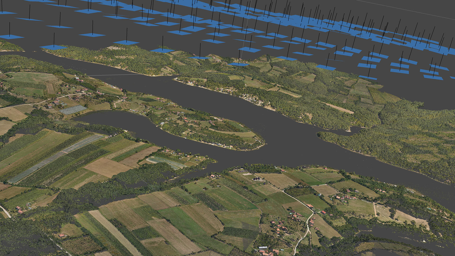
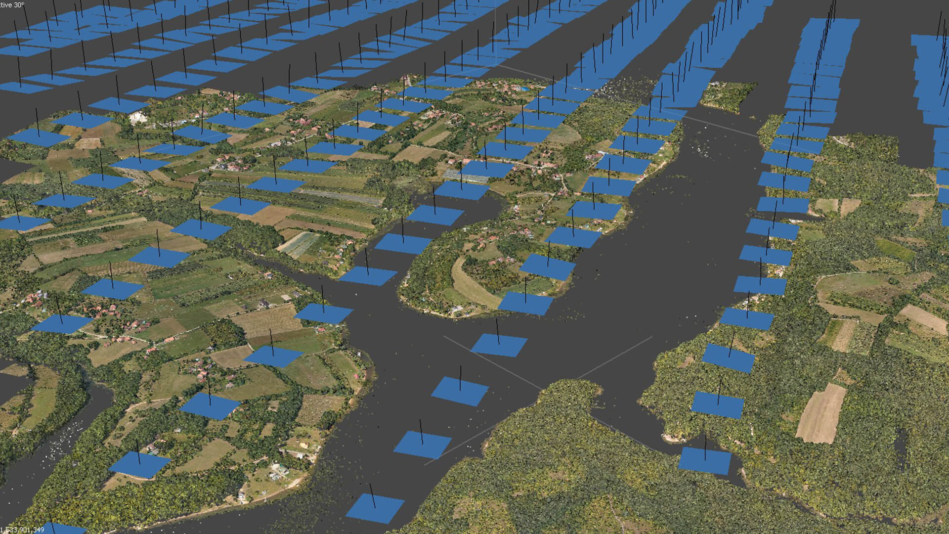
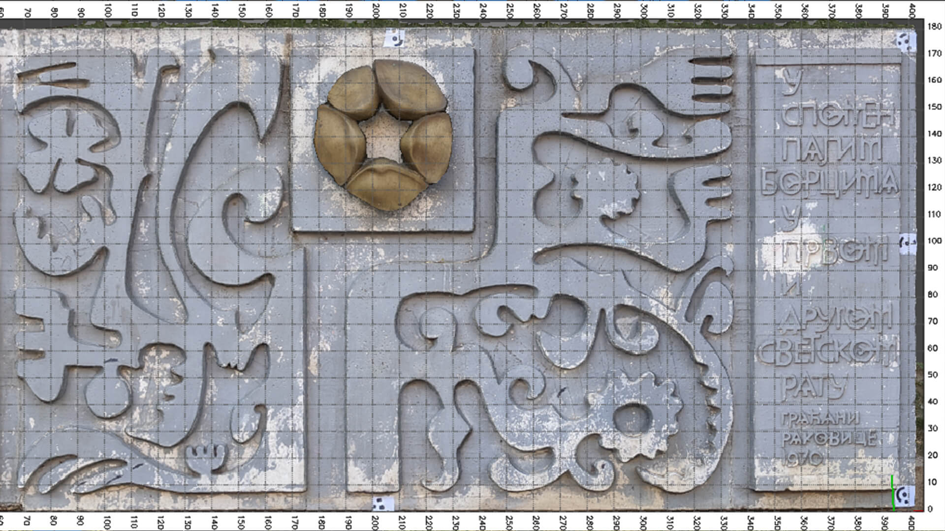
Photogrammetry Data Processing
Photogrammetry is a valuable service used in various industries, including surveying, mapping, archaeology, construction, and more. We offer photogrammetry data processing services to meet the needs of our clients.